Menu

Zerafshan Ranges

Zerafshan Ranges

FEEL THE THRILL OF THE MOUNTAINS AT ZERAFSHAN

Geography

History and culture

Nature and wildlife

Trekking

Getting in

Best time to visit

Zerafshan Range

The Zarafshan Range, located in central Tajikistan, is a striking mountain range that offers a blend of natural beauty and cultural significance. Known for its rugged terrain and picturesque landscapes, the Zarafshan Range features soaring peaks, deep gorges, and lush valleys, with elevations reaching over 5,000 meters (16,404 feet). This range serves as a vital watershed for the region and is home to diverse flora and fauna, making it an attractive destination for trekkers and nature enthusiasts. With its proximity to historical trade routes and charming local villages, the Zarafshan Range provides a unique opportunity to explore both the stunning natural environment and the rich cultural heritage of Tajikistan.

IMG_20220719_113629

Geography

When talking about the Roof of the World, old encyclopedias from the 19th and early 20th century consistently refer to the Pamirs. And for a good reason! Ismoil Somoni Peak is with 7.495 meters above sea level the highest point of Tajikistan and among the highest peaks of the world. Other mountain giants in the Pamir Mountains are Ibn Sina Peak (7.134 m), Korzhenevskoi Peak (7.105 m) and the Independence Peak (6.940 m). Beside, the Pamirs are home to dozens more peaks above 6.000 meters. Most of the highest summits are grouped together in the northwest of the Pamirs, being commonly referred to as the Academy of Sciences Range. The Pamir Mountains started to develop at the onset of the Alpine orogeny about 60 million years ago and continue to build up. The Pamirs have been a renowned finding place for rubies and lapis lazuli (a semi-precious blue metamorphic rock) since antiquity.

Glaciers play an important role in sculpting and shaping the Pamirian landscape. As a matter of fact, the word ‘Pamir’ is a local geological term for the wide valley that is left behind after a glacier melts away. This typically leaves a plateau with grasslands bordered by steep mountains – a typical landscape in the Pamir Mountains. Fedchenko glacier is presently the largest of all, and with a length of 77 km, it is even the longest glacier outside the polar circles. The ice mass of Fedchenko glacier and most other glaciers in the core of the Pamirs has remained relatively stable throughout the years, so far having managed to withstand global warming. Elsewhere in the Pamir Mountains, the retreat of glacial ice masses unfortunately is stronger.

The Pamir Mountains cover the eastern half of Tajikistan

The Zerafshan Range comprise a series of parallel mountain ridges that are continuous for hundreds of kilometers reaching westward all the way into Uzbekistan. The mountain ridges have a consistent east-west orientation. This orientation is no coincidence, as it is perpendicular to the north-south compression caused by the Indian plate colliding with Eurasia. The outcropping rocks consist mainly of shale and limestone.

The Zerafshan Range is incised by several rivers, with the Yaghnob, Ziddi and Zerafshan rivers being the major ones. The Yaghnob and Ziddi rivers discharge into the Fan Darya river that eventually disembogues northward into the Zerafshan river. The Zerafshan river delimits the Zerafshan Range in the north and drains virtually all of the region’s rainfall westward to Uzbekistan. The source of the Zerafshan river itself lies in the very east of the mountain range at the foot of the huge 25 km long Zerafshan Glacier.

Altitudes over most of the Zerafshan Range peak at around 4.000 to 5.000 meters, only dropping to considerably lower altitudes (< 2.000 meters) in the west. The highest peak is the Moscow State University Peak at an altitude of 5.320 meters in the eastern part of the mountain range.

History and culture

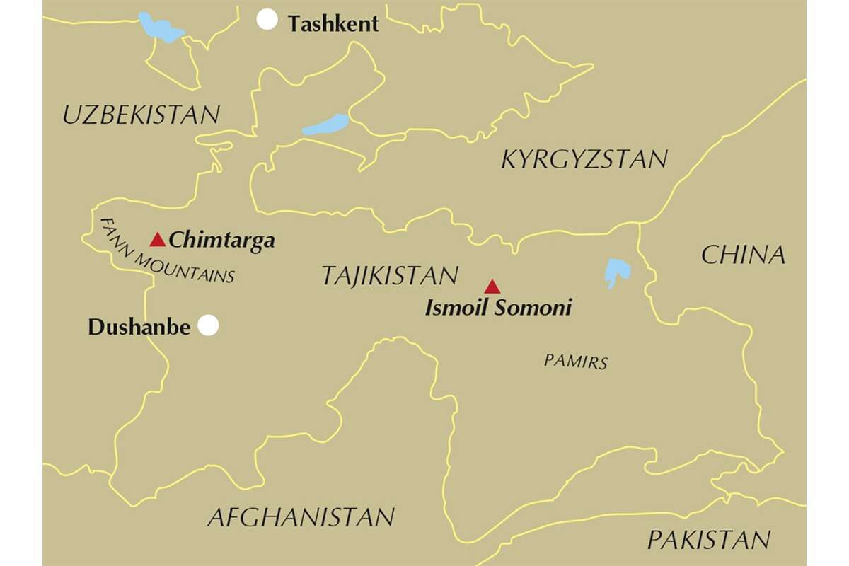
Although the Pamir Mountains are the highest region of Tajikistan, the Fann Mountains are barely falling short. To get an idea, the Fann Mountains are with elevations over 5000 meters higher than most mountains anywhere in Europe and North America. The Fann Mountains are adjacent to the Hissar and Zerafshan mountain ranges, which are together part of the Pamir-Alay. This mountain range lies in the western extension of the Pamir Mountains and started to develop following the collision between the Indian and Eurasian continents about 60 million years ago. 
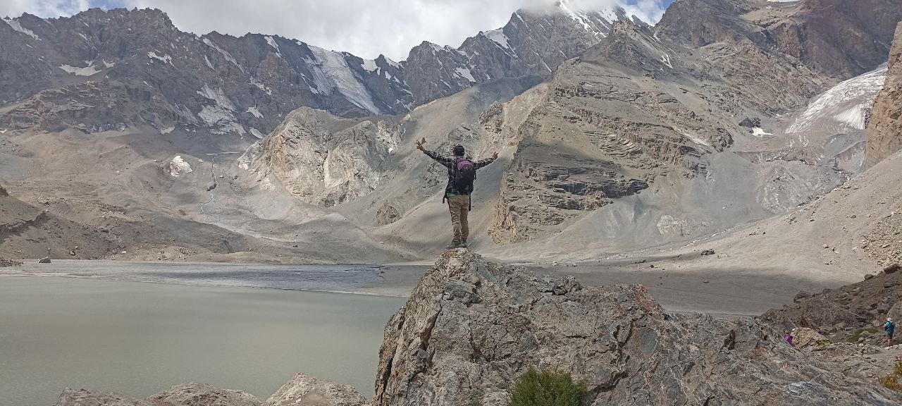
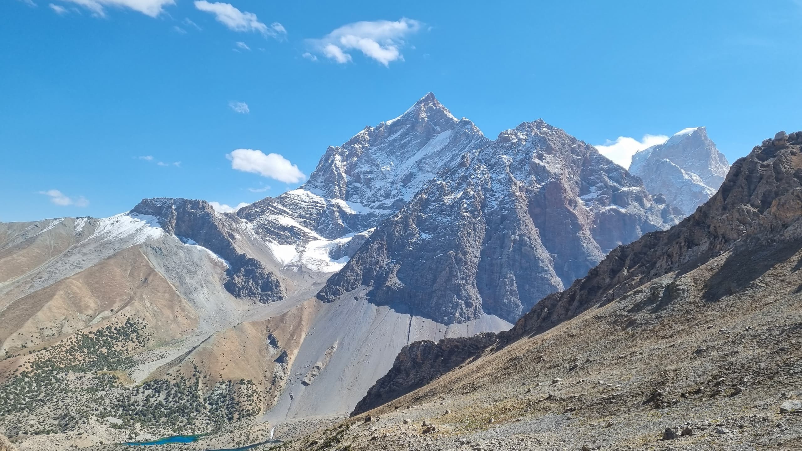
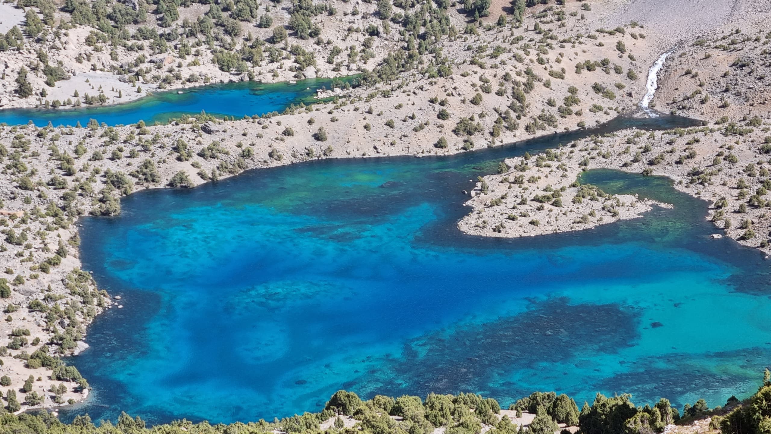
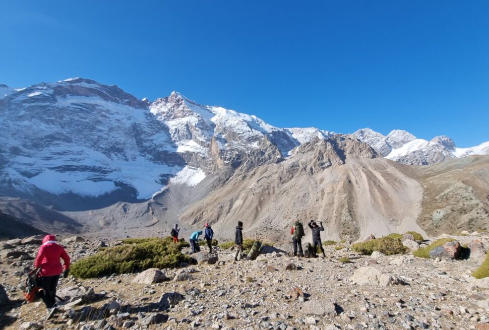
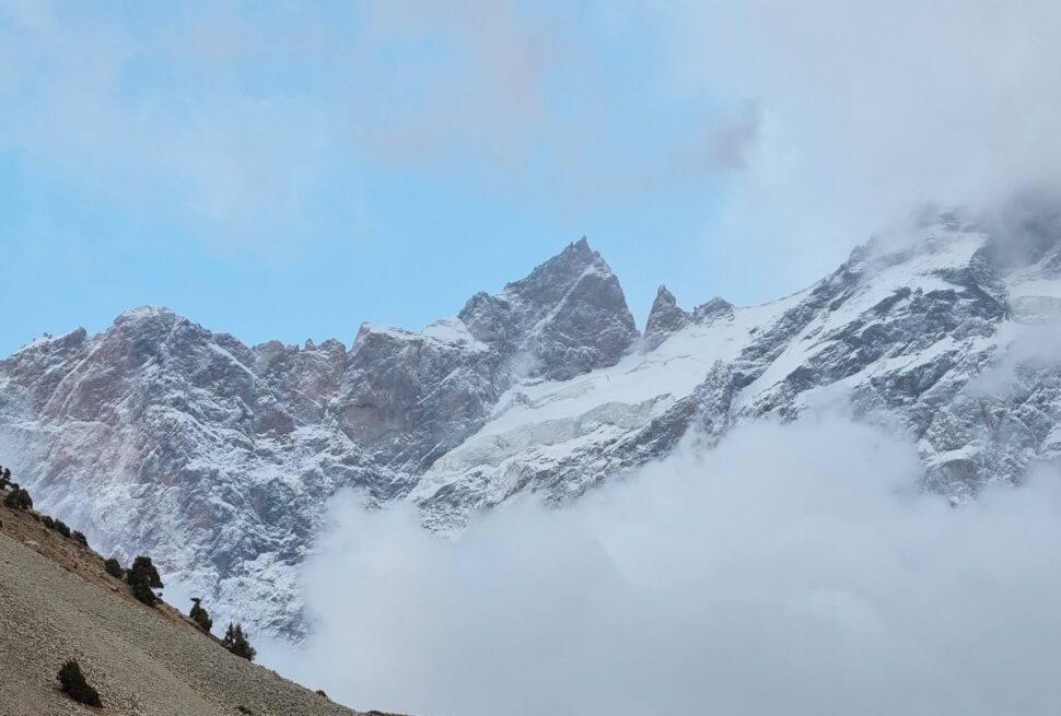
The highest point of the Fann Mountains is Chimtarga peak at 5489 meters. Directly below Chimtarga peak is the highest hiking pathway leading over a pass at 4750 meters. Crossing the snow-covered Chimtarga pass provides spectacular views over the entire Fann Mountains. 
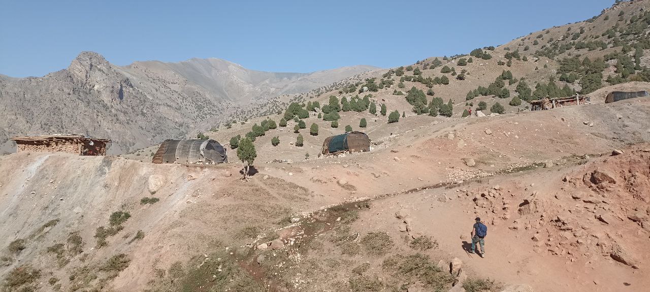
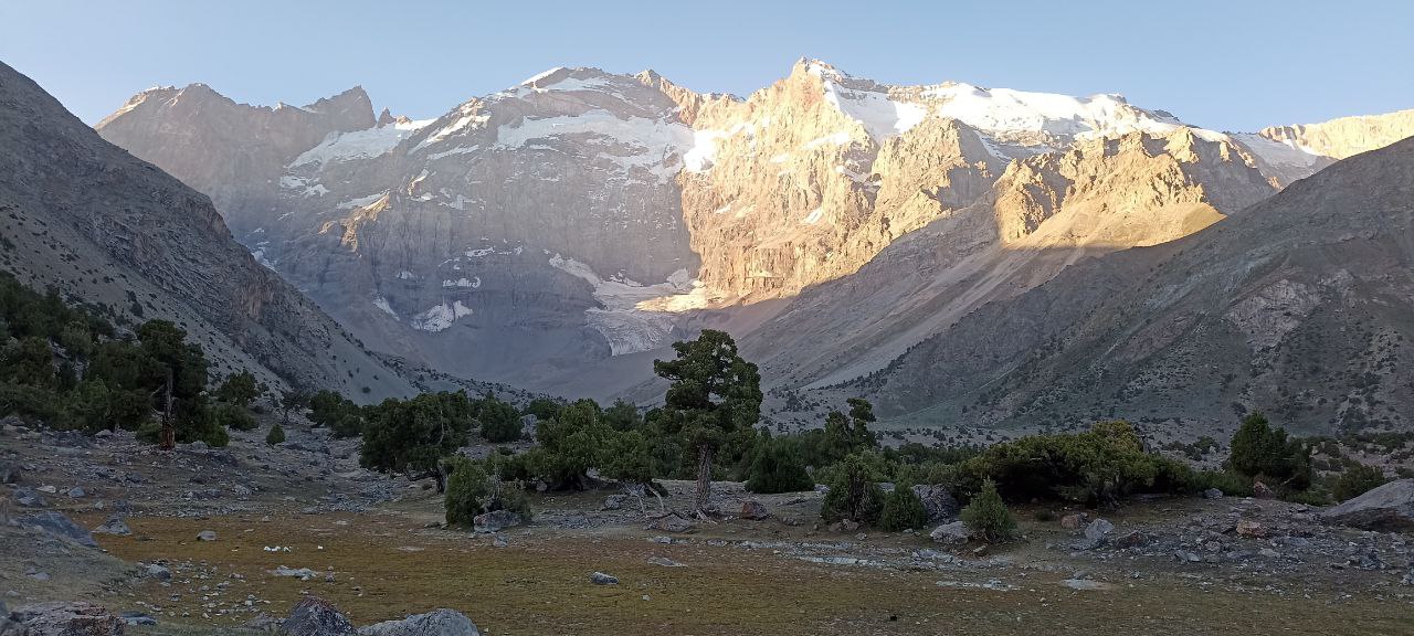
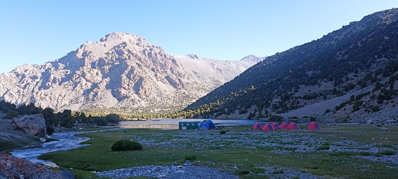
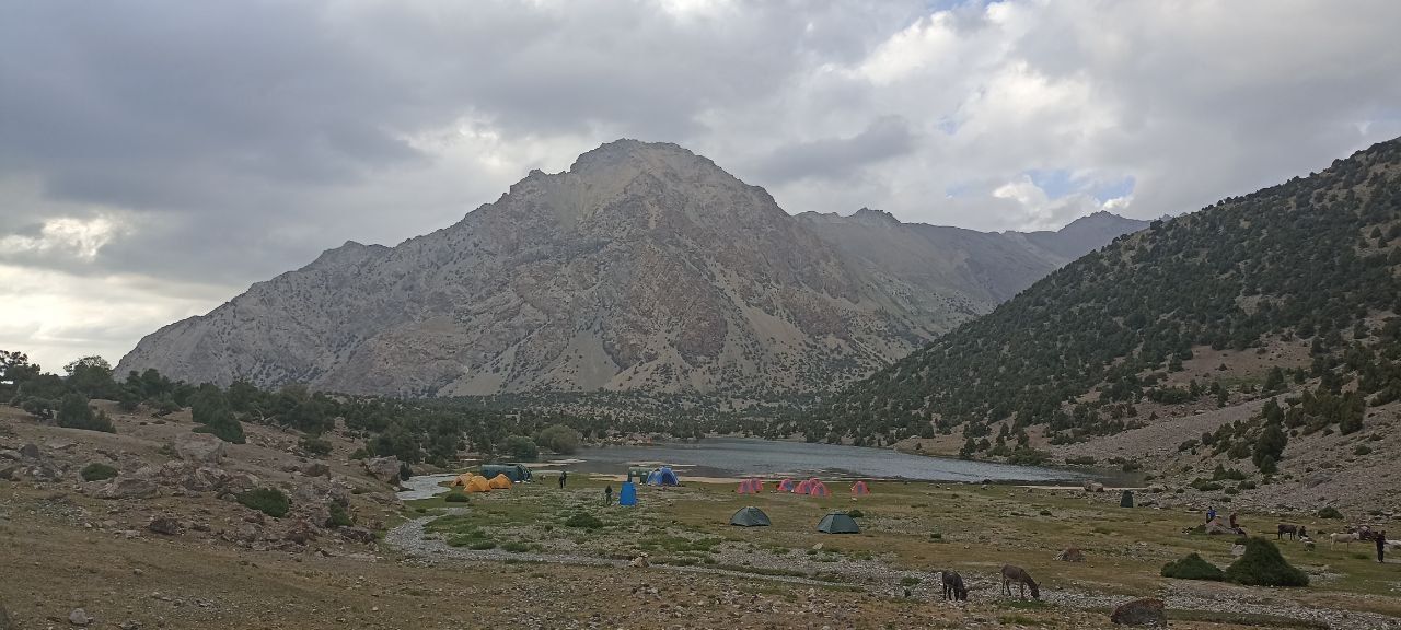
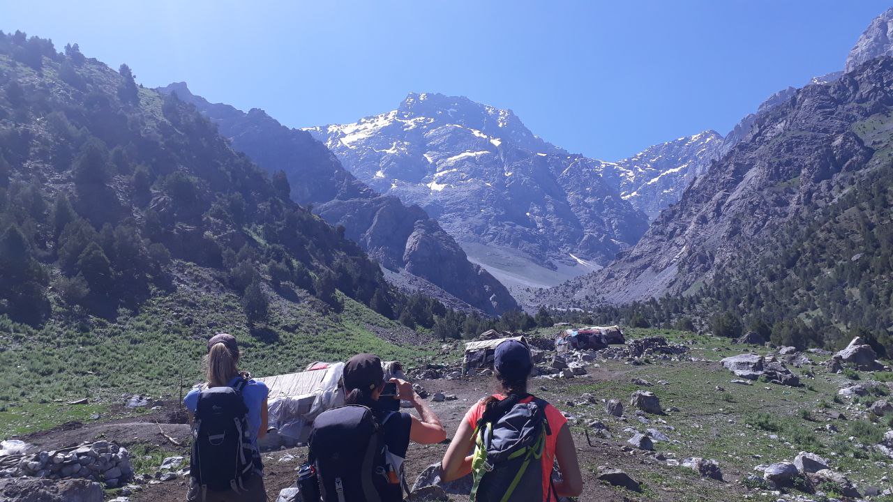
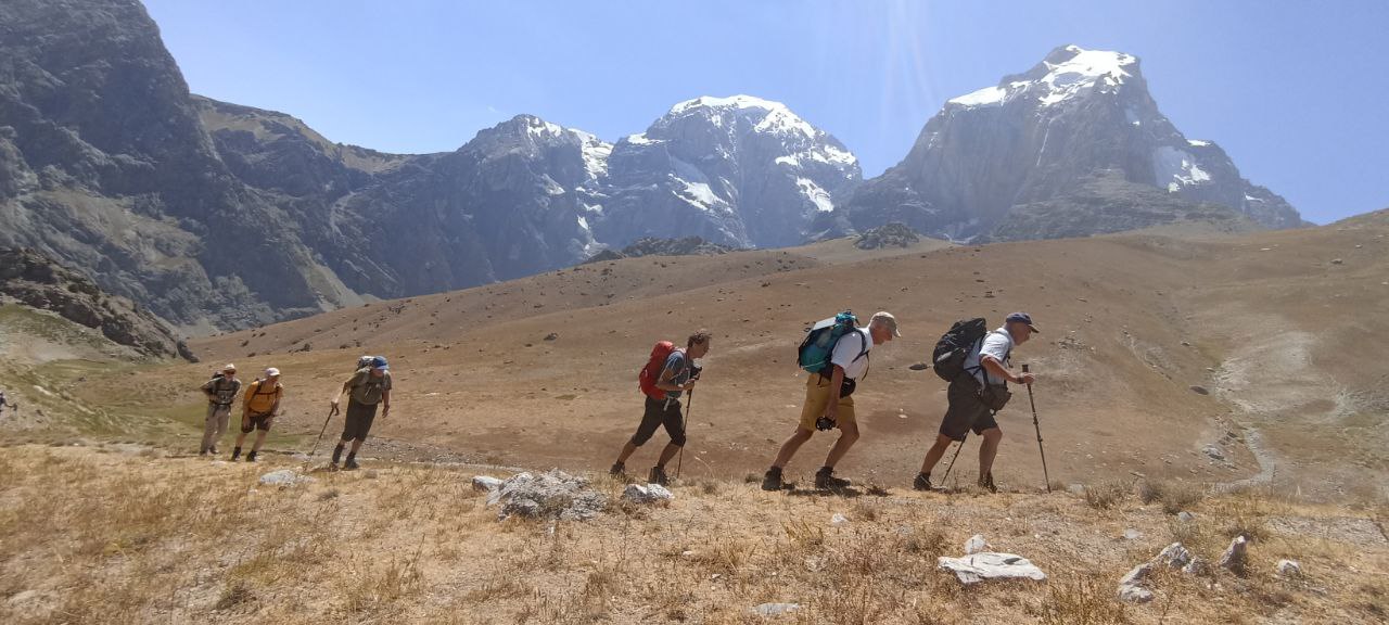
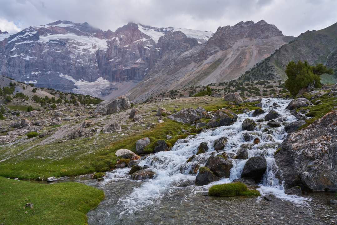
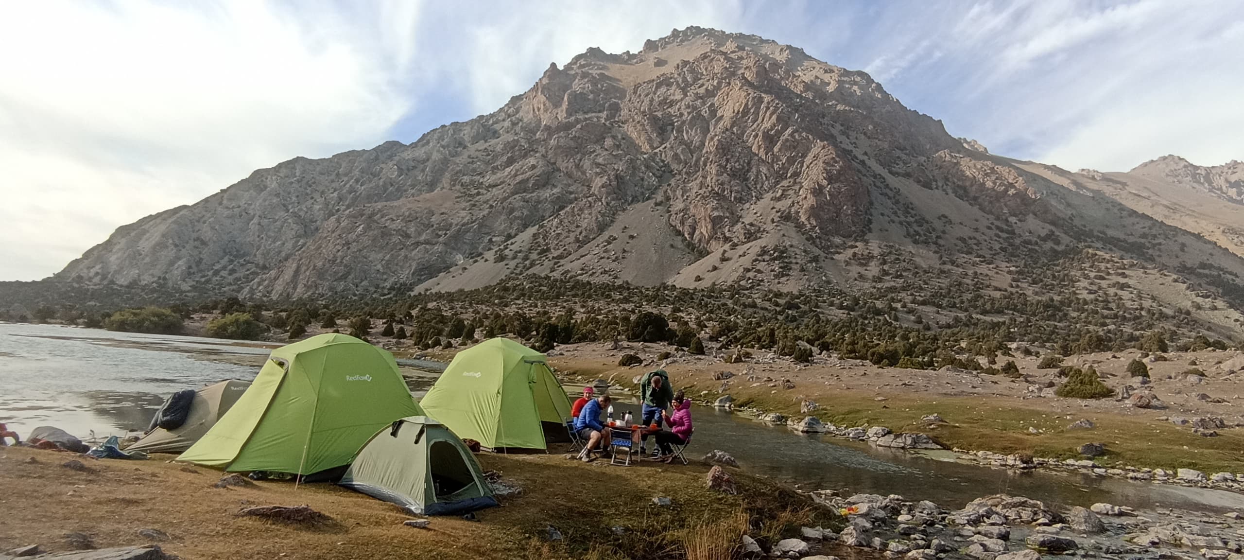
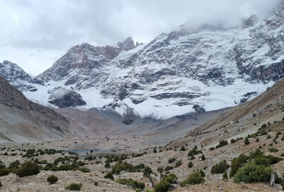
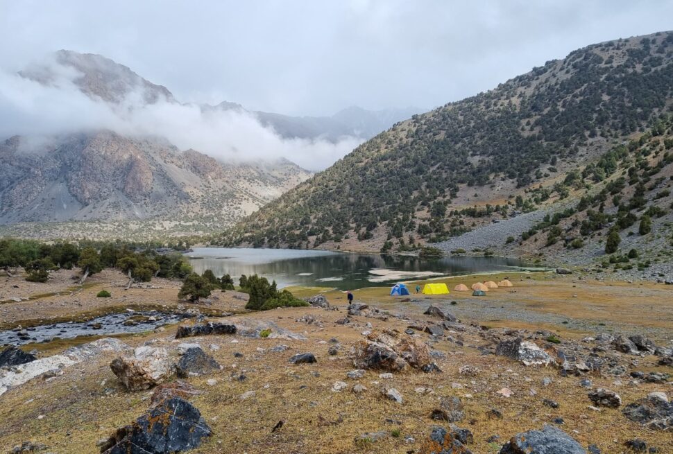
A dozen other peaks also reach over 5000 meters, and there are innumerable peaks above 4000 meters. No matter where you walk, you are always surrounded by gigantic rock formations. When hiking in the Fann Mountains, you mostly stay at elevations between 2000 and 4000 meters. Trekking at such considerable altitudes is demanding for your stamina and requires a good physical preparation.
The Pamir Mountains are covered by snow at the highest altitudes for most of the year. This picture was taken during an expedition early June at approximately 4200 meters height.

Nature

A visit to the Pamirs gives the opportunity to witness a long list of wonderful places. It is no wonder that large parts of Pamir Mountains are within a national park that is a UNESCO World Heritage Site since 2013. The infrastructure is limited though, with the only main road through the Pamirs being the M41 highway. It is colloquially referred to as the Pamir Highway and is the second highest international highway of the world, reaching its highest point at the Ak-Baikal Pass at 4.655 meters. Traveling the entire Pamir Highway requires several days and is an experience on itself.

For being so impassable, most natural beauties of the Pamir Mountains have been well-preserved and remained untouched. One of the absolute highlights of the Pamir Mountains is Lake Sarez. Lake Sarez formed in the year 1911 after a huge landslide created a natural dam in a valley in the central Pamirs. In this disastrous event, causing the death of many people, a small river quickly developed into an enormous long-stretching reservoir. The huge Udoi dam is with a height of 567 meters currently even the tallest dam in the entire world. Lake Sarez is highly secluded and cannot be visited without undertaking a long expedition.

Lake Sarez is not the largest lake in the Pamir Mountains. This honor goes to Karakul Lake located in the far northeast. With a maximum width of 52 km, Karakul is even the largest lake in Central Asia. The lake lies in an impact crater of a massive meteorite that struck some 3 to 20 million years ago. The eastern part of the Pamirs is an attraction on its own. The base level lies at a staggering 4.000 meters. Because of the great altitude, the landscape is completely barren giving free rein to the elements. Murghab – with 4.000 inhabitants the main city in the east – is an excellent base to explore this desolate region.

Trekking

The Pamir Mountains are a unique region with its own culture and historical evolution. The cultural extent of the Pamirs is not limited only to the Gorno-Badakhshan province of Tajikistan, but also stretches out to minor parts of Afghanistan and China, covering altogether the historic region of Badakhshan. The oldest known records of the Badakhshan region go back thousands of years. In antiquity, the region functioned as an important trading center: transport routes of the silk road passed through the Pamirs and lapis lazuli was exported already more than 5000 years ago. Through the years, Badakhshan has been controlled by many different emperors, kings and nobles (‘mirs’ in islamic tradition). 

From the late 19th century onward, the Pamirs got involved in territorial disputes between the United Kingdom and the Russian Empire. Eventually, the historic Badakhshan region ended up divided between Afghanistan and the Russian controlled territories with the Panj river as an important natural border. The part controlled by the Russian Empire became known as Gorno-Badakhshan in 1925. In 1929, the Soviet Union attached it as the Gorno-Badakhshan Autonomous Oblast (GBAO) to the newly created Tajik SSR. 

Soon after the independence of the Tajikistan from the Soviet Union in 1992, the Tajik Civil War started following unrest between local leaders in Gorno-Badakhshan and the government seated in Dushanbe. The civil war was sparked as the Tajik government intervened to suppress anti-government protests. During the civil war that eventually lasted five years, ten thousands of people were killed while many others lost their homes. An armistice made an end to the war in 1997 to return peace, which has remained since then. The war left deep traces in the memory of the Pamiris and a country in disarray. Only with peace returned, the focus could be shifted to the build-up of the country to finally become an overall stable and safe place.

=
=
=

How to get there

The inhospitable mountain ranges of the Pamirs are only thinly populated. The Pamir Mountains are located in the Gorno-Badakhshan Autonomous Oblast (GBAO), which covers almost half of the entire land area of Tajikistan. Nevertheless, the total population is a mere 230.000, equaling to only about 2.5% of the Tajik population. Most people live in the outmost west and southwest along the Panj river, with Khorog being the largest city and capital of Gorno-Badakhshan with 30.000 inhabitants.

The Pamir Mountains are a unique region distinct from the rest of Tajikistan when it comes to languages, cultural habits and religion. Cultural and linguistic variations exist even on a local level across the Pamirs. Clothing styles change visibly as you move your way through the region. Many local cultural traditions have managed to withstand the test of time due to the isolation of the Pamiri people in the high mountains.

The predominant religion in the Pamirs is Ismailism. This is a branch of Shia Islam in contrast to the Sunni Islam that predominates in the rest of Tajikistan. Many of the Ismoilites adhere to the Aga Khan – the main religious leader within this branch of Islam. Apart from native Pamiris, communities of Kyrgyz people live in the east of the Gorno-Badakhshan province.

Sports competitions – here judo – are held in the Pamir Mountains as part of the Navruz (Persian New Year) festivities. Judo is one of the most popular sports.

Climate and best time to travel

The best period for trekking in the Zerafshan Range is the same as for the Fann Mountains, namely from May to September when temperatures are most pleasant. Earlier in the year, there can still be snow on the trails, especially on the hiking routes above 3000 meters altitude. Throughout autumn, trekking conditions deteriorate as temperatures drop and days shorten. Towards the end of autumn, the first snow usually starts to fall again. 

The amount of precipitation in the Zerafshan Range varies throughout the year. The summertime is arid and provides the best conditions for hiking and wild camping. In spring, rainfall in the area is much more frequent and it is an absolute must to take good rain gear with you.

Do you have a question or want more info?
Contact us!

    Not sure which trek to choose?

    Let us know about your wishes to design a tailor-made trip

    Ready for the adventure?

    Then hesitate no longer and pick a trek

    Leave a Reply

    Your email address will not be published. Required fields are marked *